Showing 1–12 of 26 results
-

-
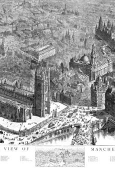
A Birds Eye View of Manchester – 1889
£99.00 – £130.00 Select options -

-

-

-
-

-
-
-

-

-

Showing 1–12 of 26 results